Why a Dubai Desert Safari Location Map Matters
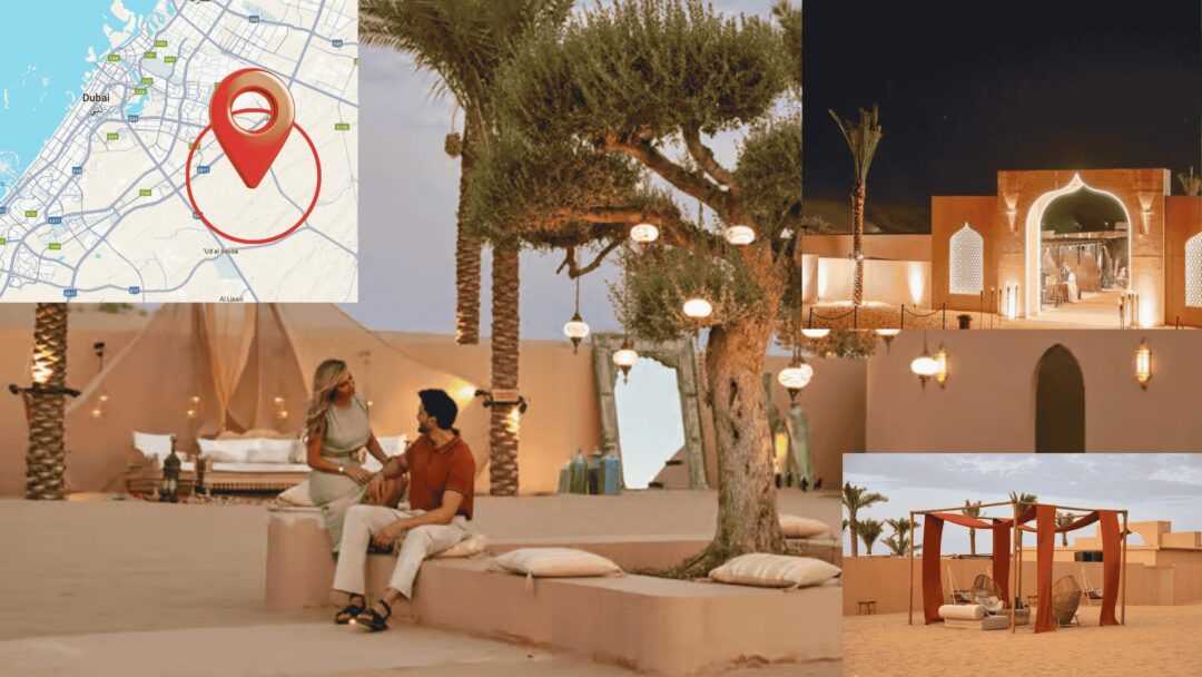
If you’re planning a dune-side adventure, a clear Dubai desert safari location map saves time, prevents wrong turns, and helps you choose the best meeting point. Most operators offer hotel pick-up, but self-drive guests still need to navigate to staging areas on the edge of the city before switching to a 4×4. This guide explains the main safari regions, typical meeting spots, travel times from popular districts, and essential tips—all optimized around the desert safari location map you’ll use on the day.
The Three Most Common Safari Regions (At a Glance)
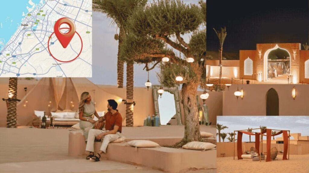
Your dubai desert safari location map will typically cluster camps and meeting points around these areas:
- Lahbab (Red Dunes) – East/Southeast of Dubai
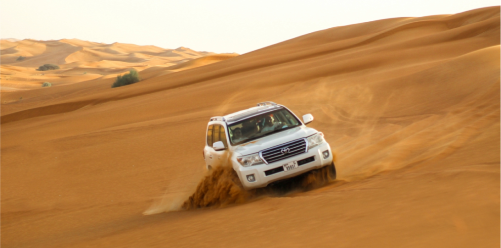
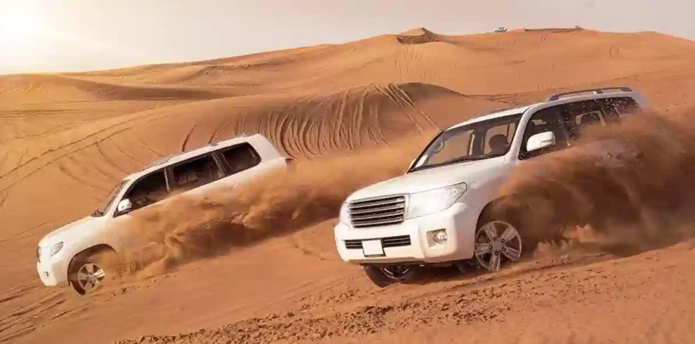
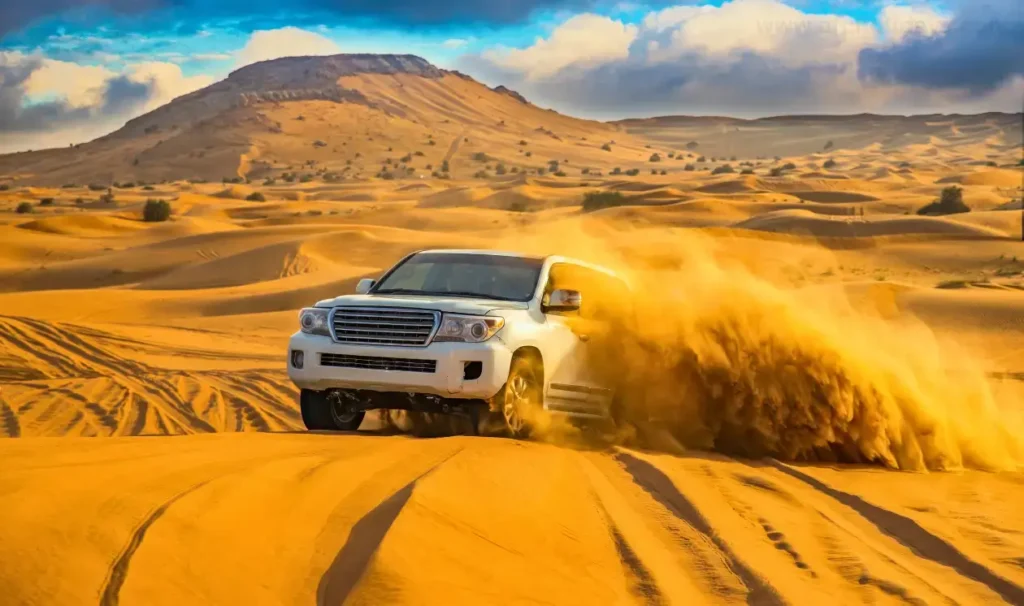
Famous for dramatic red dunes and classic dune bashing. Most shared tours stage near the highway before heading off-road with pro drivers. - Al Marmoom Desert Conservation Reserve (near Al Qudra)
A scenic, wildlife-friendly area ideal for gentler drives, sunrise/sunset photography, and starry night skies. Many premium camps operate here. - Big Red / Al Badayer Corridor (Dubai–Hatta direction)
Known for larger dunes and adventure add-ons (quads/buggies at licensed zones). Some camps sit close to the Dubai border but remain within easy reach of the city.
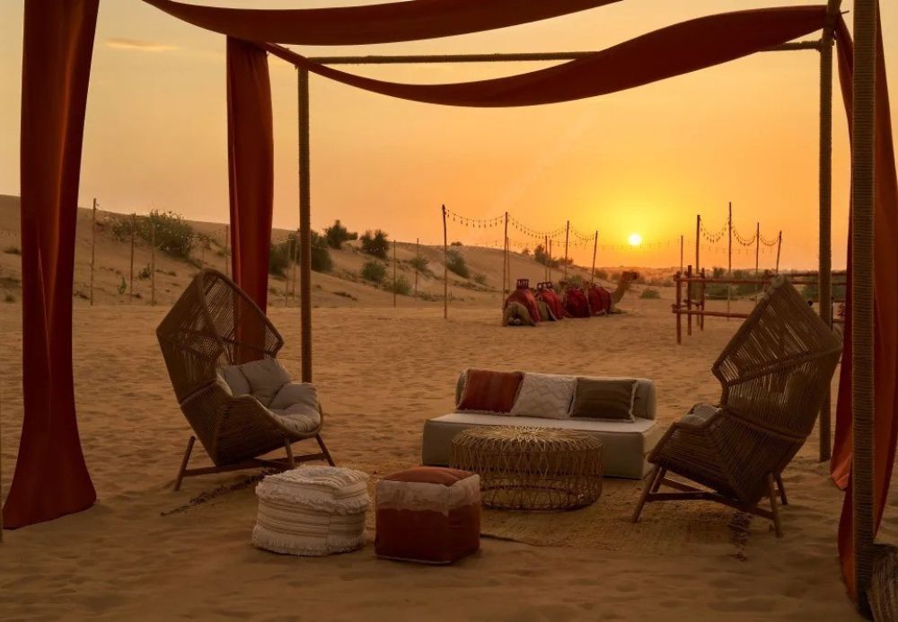
Note: Self-driving into soft sand is not advised unless you’re trained, equipped, and insured. Most visitors use the desert safari location map to reach a paved meeting point; your operator takes you off-road from there.
Pick-Up Zones vs. Self-Drive Meeting Points
- Hotel/City Pick-Up (Shared Tours):
Easiest option—your guide handles routing. The dubai desert safari location map still helps you understand travel times and where you’re headed. - Central City Hubs (When Hotel Pick-Up Isn’t Included):
Some budget tours set central meeting places (e.g., a metro station or mall). Your confirmation should include a pin—save it to your map app. - Edge-of-City Staging Points (Self-Drive):
Operators often choose a fuel station or roadside café near Lahbab or Al Qudra. Park on paved ground; you’ll transfer to a 4×4 for dunes and camp.
Pro Tip: Screenshot your desert safari location map and the operator’s pin. Mobile data can be patchy near the dunes.
Dubai Desert Safari Location Map, Driving Times & Suggested Routes (Typical, Not Guaranteed)
Use these estimates to plan your departure; exact times vary with traffic and where your camp sits on the dubai desert safari location map.
- Downtown Dubai → Lahbab/Red Dunes: ~45–70 minutes via the Dubai–Hatta direction.
- Dubai Marina/JBR → Al Qudra/Al Marmoom: ~40–60 minutes via Al Qudra corridors.
- Old Dubai (Deira/Bur Dubai) → Lahbab: ~50–75 minutes (allow extra at rush hour).
- DXB Airport → Most Meeting Points: ~40–65 minutes depending on region and route.
Timing tip: For sunset safaris, aim to reach your meeting pin 15–20 minutes early to sort payments, tire checks (for operators), and safety briefings—without rushing.
Reading The Dubai Desert Safari Location Map: What to Look For
A good dubai desert safari location map will show:
- Color-coded zones for Lahbab, Al Marmoom/Al Qudra, and Big Red corridors.
- Meeting point icons (fuel station, café, parking).
- Camp clusters (multiple operators in one area).
- Activity spots (sandboarding slopes, quad/buggy zones, photography ridges).
- Emergency references (nearest paved road, main exit, and clinic area back in the city).
If your operator provides a proprietary desert safari location map, save both the image and the live pin. Cross-check that the camp’s name on your booking matches the location label.
Parking, Vehicles & Safety
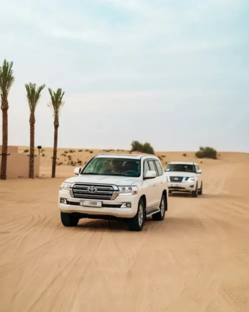
- Parking: Only on paved or hard-packed ground at the meeting point. Never drive your rental into soft sand unless you’re experienced and permitted by your rental agreement.
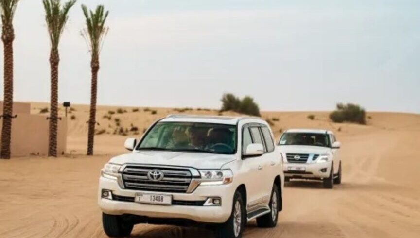
- Vehicle Type: Off-road driving requires a 4×4 with proper tire deflation, recovery gear, and trained drivers. Shared tours include this.
- Seat Belts: Always buckle up for dune sections, even on short drives between ridges.
- Medical/Comfort: Tell your guide in advance about motion sensitivity or back issues. For gentle rides (or to skip dune bashing), request it at booking and again at the meeting point.
Dubai Desert Safari Location Map Public Transport, Taxis & Ride-Hailing
Metro and buses don’t reach dune areas directly. If you’re not using hotel pick-up, take a taxi/ride-hail to the desert safari location map pin your operator supplies. Confirm the return plan (some camps finish late; pre-book or use your driver’s number).
Choosing Your Location Based on Experience
- Epic Dunes & Classic Photos: Lahbab/Red Dunes.
- Calmer Vibes & Nature: Al Marmoom/Al Qudra.
- Action Add-Ons (Licensed Zones): Big Red corridor.
- Families & Seniors: Consider a private vehicle and ask for a gentle drive. You’ll still enjoy sandboarding (optional), camel photo loops, and the camp experience.
What to Bring
- Essentials: ID, charged phone with the dubai desert safari location map saved offline, hat, sunglasses, SPF, and a light layer for winter evenings.
- Footwear: Closed shoes for sandboarding; sandals for camp comfort.
- Camera Kit: Wide-angle for landscapes; mid-zoom for action shots.
- Cash/Card: For tips, quads/buggies, premium seating, or souvenir photography.
Sample Itinerary (Sunset Safari)
- 15:00–15:30 Depart city for the meeting pin on your desert safari location map.
- 16:30 Transfer to 4×4; safety briefing and gentle warm-up drive.
- 17:00 Dune session + sandboarding stop.
- 17:45 Golden-hour photo ridge.
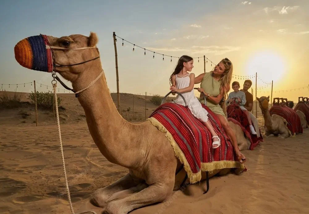
- 18:15–20:00 Desert camp: Arabic coffee/dates, short camel loop, henna art, dinner, and live shows.
- 20:30–21:30 Return to the city.
Times shift with season and operator; always follow your booking confirmation.
FAQs (Quick Answers)
Where exactly is the Dubai desert safari?
Camps and meeting points are spread across Lahbab (Red Dunes), Al Marmoom/Al Qudra, and Big Red corridors. Your dubai desert safari location map will show the precise pin.
Can I drive my rental to the camp?
Typically you’ll park at a paved meeting point from your desert safari location map, then switch to a tour 4×4. Self-driving off-road is not recommended without training.
How early should I leave?
Plan to reach the pin 15–20 minutes before your check-in, allowing for traffic and wayfinding.
What if I want no dune bashing?
Book a private vehicle and request a gentle route; you can still enjoy sunset views and camp activities.
Conclusion
With the right dubai desert safari location map, you’ll know exactly where to meet your guide, how long the drive will take, and which dune region suits your style—whether you want big-ridge thrills, a calm conservation setting, or a family-friendly evening under the stars. Save the pin, plan your route, and get ready for golden sand, open skies, and an unforgettable night in the desert.


